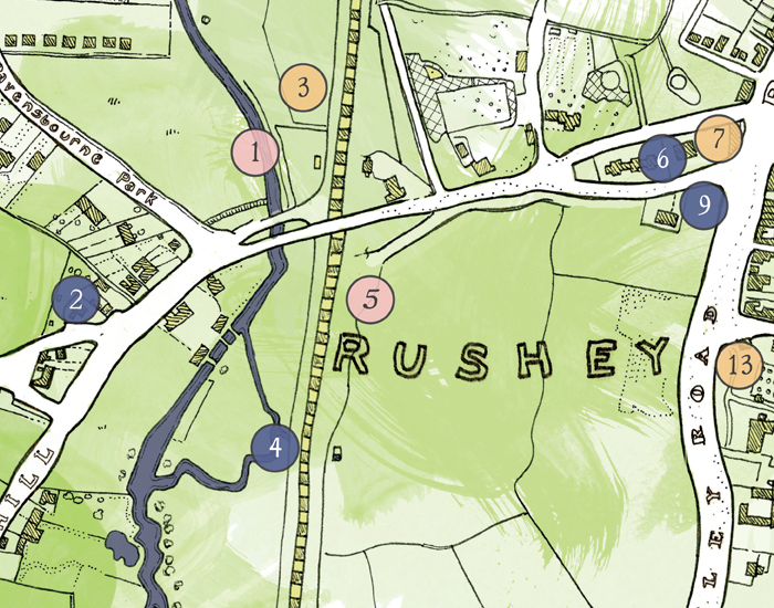
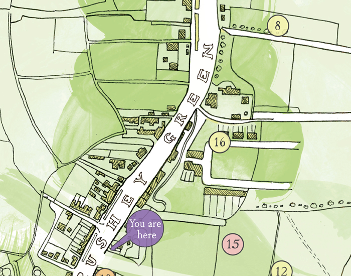
RUSHEY GREEN HERITAGE MAP
Commissioned by Lewisham Council and the Catford Residents’ Association, I was asked to produce a map of the Rushey Green area as it looked at the turn of the 19th century. Combining common elements of several ordnance surveys from around that time, the result is a map which denotes how rural the area once was, and how much life in Catford has changed since.
The map features a combination of landmark buildings, past industrial and civic amenities, as well as sporting grounds and famous residents. The aim of the piece is to reunite the area’s disparate past and present, hopefully reinforcing a sense of local identity as well as being educational. It now lives on the corner of Brownhill road in Catford.